PotholeMap UK: community-built road safety map
A free, public map of potholes reported by people across the UK. Add a pothole, see what's already been reported, and help councils prioritise repairs.
Damaged your car? Read our pothole compensation guide
Find potholes near you
Enter a postcode or tap the pin icon to centre the map on you.
Latest potholes reported
Fresh from the community map, most recent first.
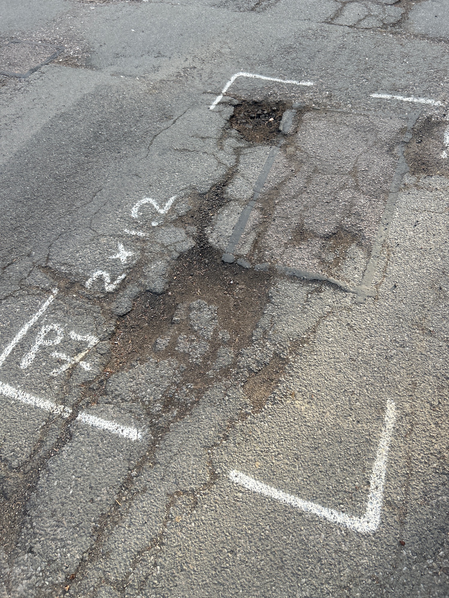
Station Road West
South Cambridgeshire, Whittlesford · CB22 4NL
South Cambridgeshire
21 Sept 2026
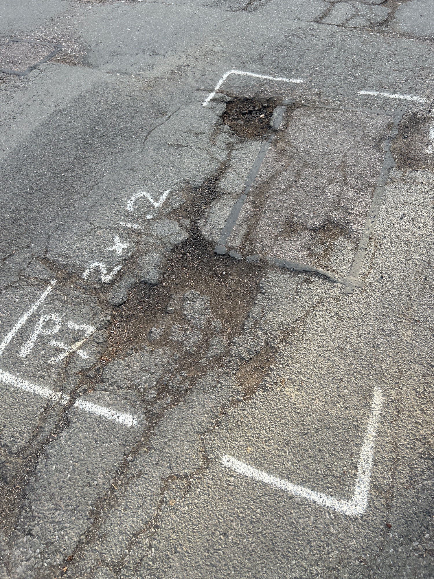
Station Road West
South Cambridgeshire, Whittlesford · CB22 4NL
South Cambridgeshire
21 Sept 2026
Station Road West
South Cambridgeshire, Whittlesford · CB22 4NL
South Cambridgeshire
20 Sept 2026
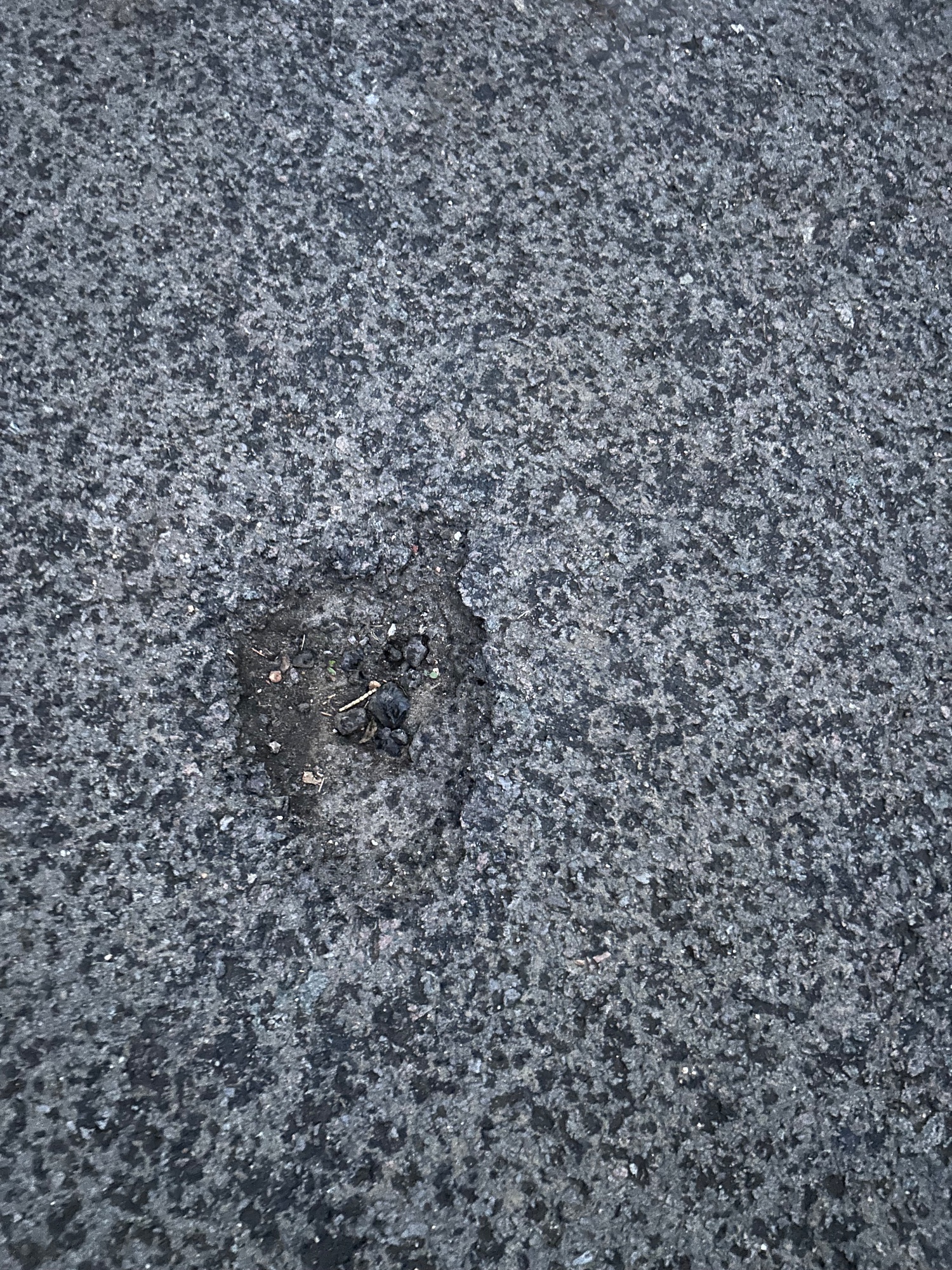
Duxford Road
South Cambridgeshire, Whittlesford · CB22 4NJ
South Cambridgeshire
20 Sept 2026
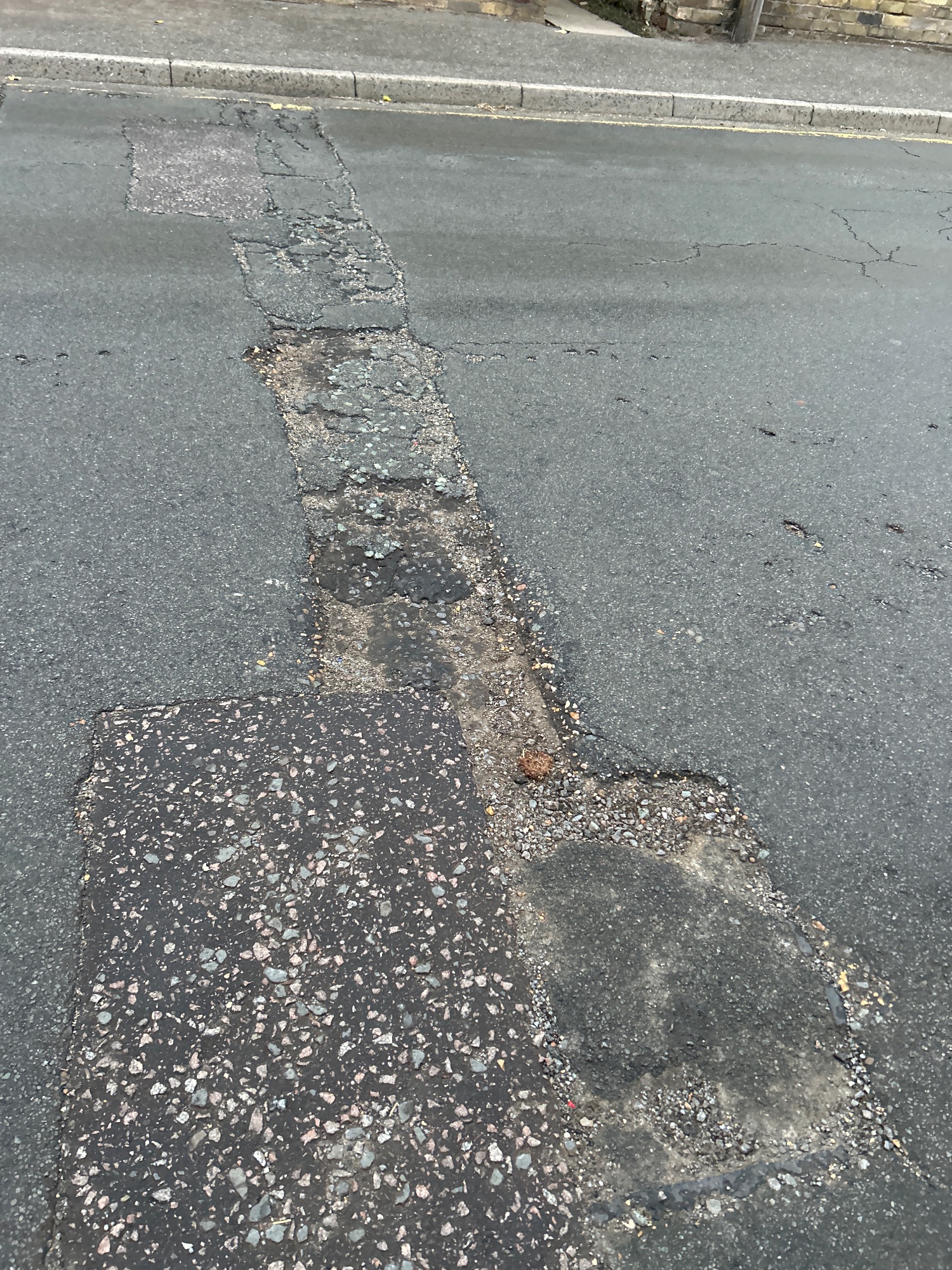
High Street
South Cambridgeshire, Whittlesford · CB22 4ZJ
South Cambridgeshire
17 Sept 2026
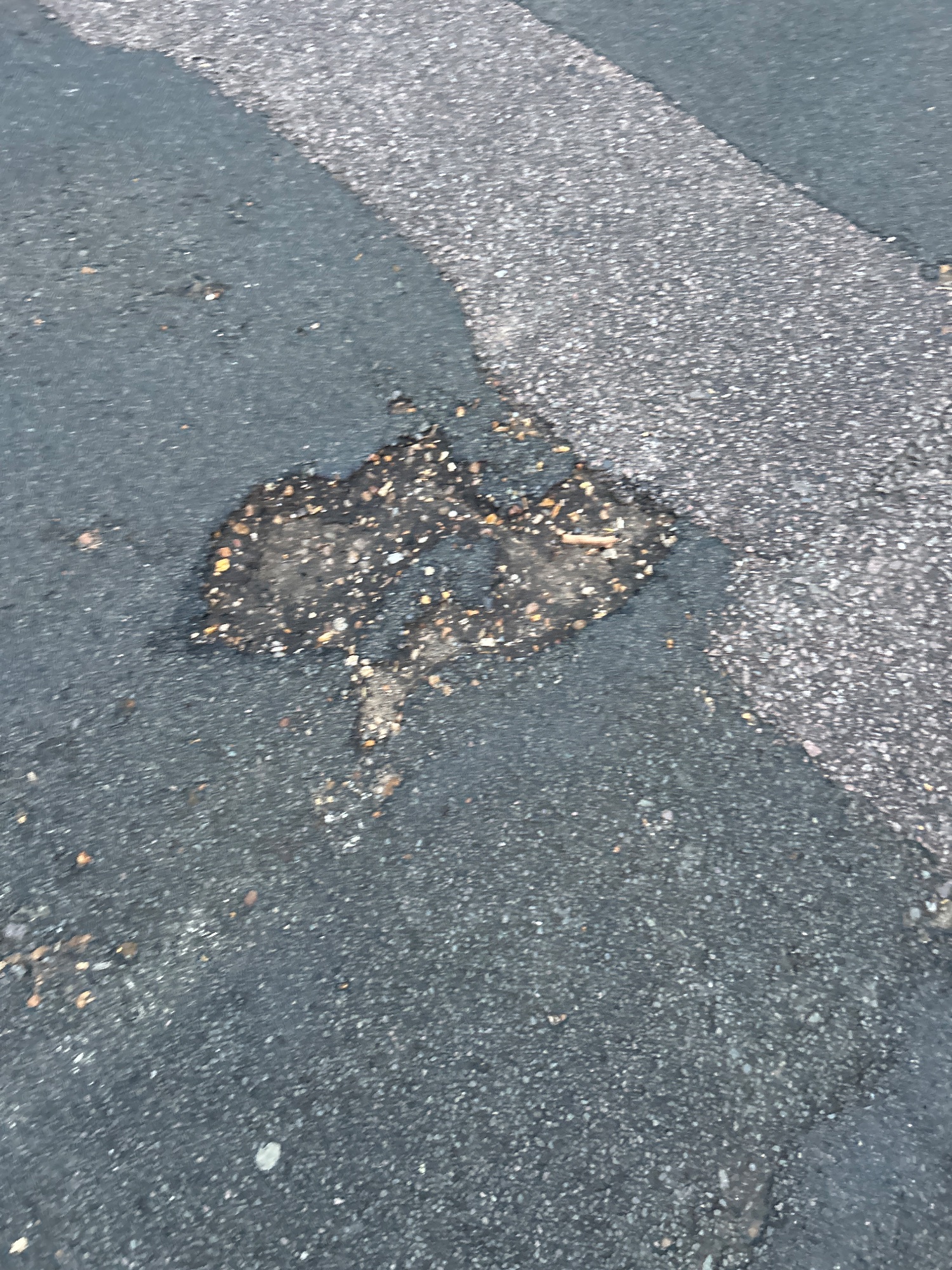
High Street
South Cambridgeshire, Whittlesford · CB22 4NR
South Cambridgeshire
17 Sept 2026
Council leaderboard
How local authorities compare on getting potholes repaired. An exciting development planned for Phase 2, not active yet. It switches on once the map has enough genuine reports. Read the announcement
No council has enough genuine reports to be ranked yet. We only rank a council once it has at least 10 real reports, and sample entries never count. How we score councils
From the blog
Campaign news, guides and data stories from PotholeMap.
Phase 2: the council leaderboard
The council repair leaderboard is an exciting development planned for Phase 2. It is not active yet, but every pothole you report now helps switch it on.
9 Sept 2026
newsWhy we built Pothole Map
Potholes cost UK drivers millions in repairs every year. Here's why a free, public map is the first step to getting them fixed faster.
9 Sept 2026
About PotholeMap
PotholeMap is a community action project built to make UK road defects visible. Anyone can report a pothole with a photo and location, and anyone can search the map to see what has been reported nearby, free of charge. We are not a council or a repair service. We are an independent map that helps residents, journalists and councils see where problems are piling up.
Our goal is simple: a complete, up-to-date picture of potholes across the UK. In time that data can be used to hold highway authorities to account, speed up repairs, and support drivers who have suffered damage.
How we workWhy it matters
- Makes hidden road damage public and searchable.
- Built from real reports, not official datasets.
- Helps councils prioritise repairs with evidence.
Common questions
Quick answers about reporting, privacy and repairs.
Does reporting a pothole here fix it?
No. We map potholes so everyone can see them. Dangerous defects should also be reported directly to the council responsible for that road.
Read answerDo I need an account?
No. Anyone can search the map and report a pothole. We ask for your name and email so we can send updates about that pothole. An account is optional.
Read answerWhat information is shown publicly?
The location, severity, road name, description and photo of your report. Your name and email address are never shown and are kept private.
Read answerCan councils use PotholeMap?
Not yet. A council portal for reviewing reports and marking repairs is coming in phase two. Councils can register their interest now.
Read answer